
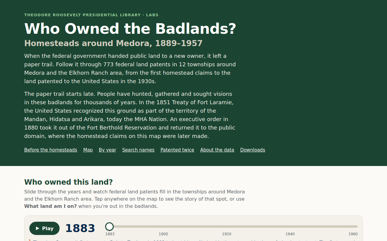
Try it right here
This loads the live project from its own domain, exactly as a visitor would see it.
What it does
A map of federal land patents in twelve townships around Medora, built from the General Land Office records. A year slider starting in 1883, the year Roosevelt first came to the Badlands, adds each parcel as its patent is granted, so a visitor can watch the homesteading boom and the federal buy-backs of the 1930s play out across the landscape.
Tapping a spot, or using the "What land am I on?" button, shows every patent for that ground with a link to the original record, today's land status, and the Native history of the area. A search answers "Did your family homestead near Medora?" and a set of story cards follows parcels that were patented twice.
What it can do
- Year slider with playback from 1883 to 1960
- Patent cards linking to BLM GLO Records, with today's land status
- "What land am I on?" lookup that runs entirely in the browser
- Patentee name search across the whole index
- Patents-per-year chart with an accessible data table
- Embeds render straight into the page, no iframe, with scoped styles
- Downloadable GeoJSON and CSV of parcels and patents
Make it your own
Start by forking the repository into your own organization. Everything below assumes you are working in your fork, not this one.
- Fork the repo and pull GLO land-patent records for your townships from the BLM.
- Geocode parcels to the public land survey grid with the scripts in
src/. - Run
src/fetch_land_status.pyfor today's land status, thenpython3 src/build_site_data.py. - Rewrite
site/data/context.json, including the Native history, with a source for every statement. - Serve the
site/folder through a GitHub Actions Pages workflow and edit itsCNAME.
Stuck on a step? Open an issue on the repository. Questions from people adapting these for their own institution are the most useful feedback we get.